


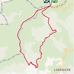

12.8 km | 24 km-effort

User


FREE GPS app for hiking
 SityTrail
IGN / Geographical institutes
SityTrail World
The world is yours!
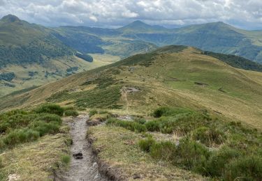
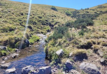
Trail Walking of 8.9 km to be discovered at Auvergne-Rhône-Alpes, Cantal, Le Falgoux. This trail is proposed by tracegps.
Le puy de Chavaroche PR® Depuis des temps immémoriaux, en passant le sommet du Puy Chavaroche, les hommes ont posé leur pierre au grand cairn. Peut-être ont-ils toujours été impressionnés par la majesté du site au point de croire que c’était un lieu magique. Vous trouverez le descriptif détaillé de cette randonnée dans le Topo-guide® de la Fédération Française de la Randonnée Pédestre. Pour toute information complémentaire sur la randonnée : Comité départemental du Cantal: 2 AVENUE DU DOCTEUR LOUIS MALLET 15100 ST FLOUR


Walking

Walking
Walking
On foot
On foot
Walking
Walking
Walking
Walking